
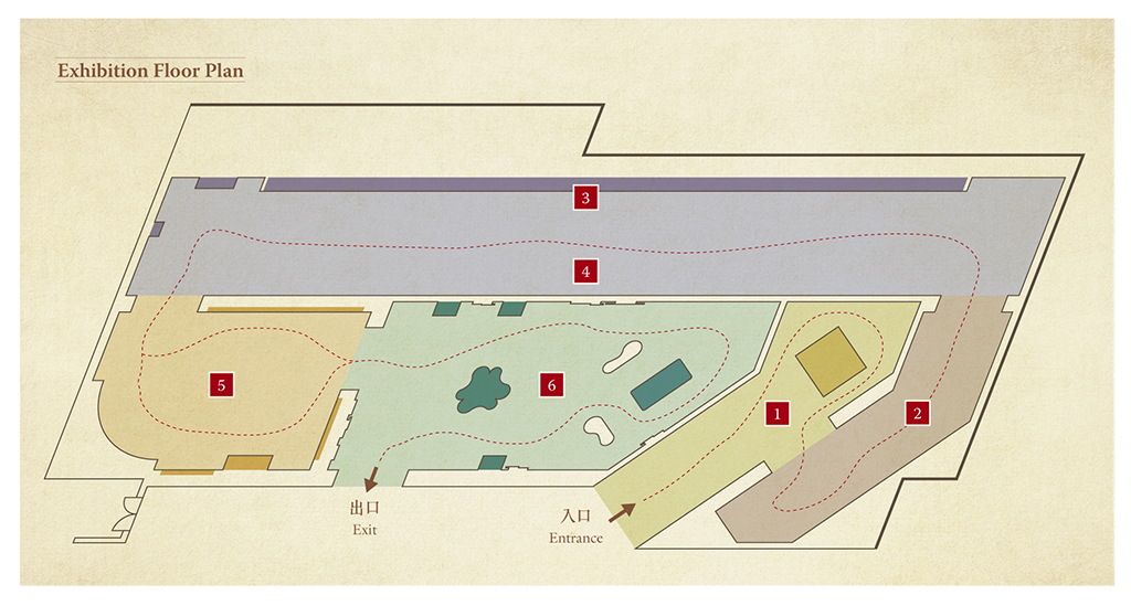
| Cartography Methods and Tools in Ancient China | |
| Introduction of the Landscape Map of the Silk Road | |
| Display of Landscape Map of the Silk Road | |
| Animated Landscape Map of the Silk Road | |
| Feature China Maps and Hong Kong Maps | |
| Interactive Exhibits |
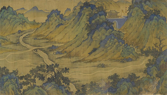
Display of Landscape Map of the Silk Road
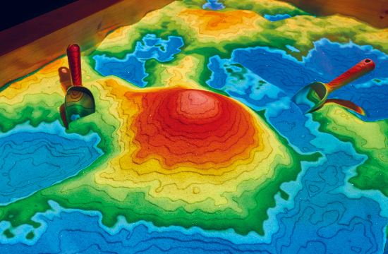
Intelligent SandBox – Create different landforms by making use of Augmented Reality technology and learn more about contour lines
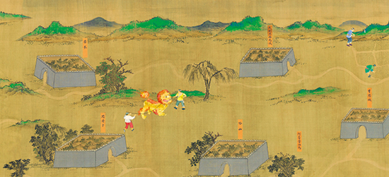
Animated Landscape Map of the Silk Road – Through vivid animations the everyday activities of people who lived along the Silk Road are brought to life
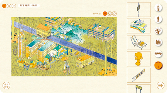
Hong Kong in Blue and Green Landscape Painting Style – Create your own blue and green landscape painting of Hong Kong
Special Lecture
National Treasure Returns Home
Date: 8-12-2018 (Sat)
Time: 3:45pm – 5:15pm
Speaker: Prof. Lin Meicun (Professor, School of Archaeology and Museology, Peking University)
Venue: Lecture Hall, Hong Kong Science Museum
Language: Putonghua
Free admission on a first come, first served basis
Abstract:
The Landscape Map of the Silk Road is a traditional Chinese map drawn on a silk handscroll, with dimensions of about 30-metre long and 0.6-metre wide. The map depicted the Silk Road from Jiayu Pass in Gansu province to Tianfang-guo (present-day Mecca in Saudi Arabia) in the Ming dynasty. It was taken overseas in the 1930s and has now returned home. A Hong Kong entrepreneur purchased the map and subsequently donated it to The Palace Museum. The lecture will introduce the story of homecoming of the Landscape Map of the Silk Road.


